Archive

Posts Tagged ‘hiking’

Hiking Execution Rock

July 1st, 2012 1 comment

Anyone who has driven the Ezulwini corridor between Mbabane and Manzini in Swaziland has certainly taken note of the large precipice known as Execution Rock.  The mountain is officially known as Nyonyane Peak, but goes by the more sinister moniker because it is said criminals were historically forced off the edge at spear-point for their crimes.
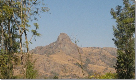
Execution Rock
[View of Execution Rock from one of our previous trips]

Since coming to Swaziland, we have wanted to hike to the top, but it is one of those things where it is so close by, you never get around to doing.  Plus, there is notoriously little information on the internet about.  I knew the mountain was in the Mlilwane Game Reserve, and had heard there was a short route and a long route, but beyond that reports vary widely.  Some sites say the hike takes 6 hours and others say you can get there in 15 minutes.  But, we enjoy spending time at Mlilwane, so we decided to make a day out of it; if we got to the top of Execution Rock that would be great.  If not, then we would enjoy a relaxing game drive and other short hikes.

Mlilwane is a relatively small park, but most of it is criss-crossed with trails.  There are no large predators, but you are absolutely guaranteed to see zebra, warthogs, wildebeests and a wide variety of antelope variations.  Plus it is super cheap.  The entrance price for all three of us was supposed to be E75 (less than $10 USD), but we have a Wild Card that lets us get in free.


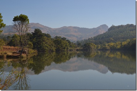
Execution Rock 001

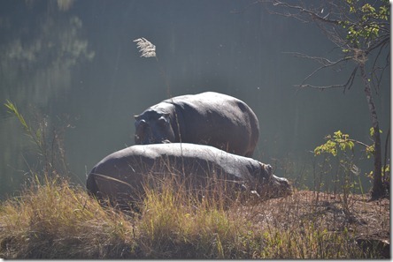
[Execution Rock is the summit on the right, note the hippos on the island to the left.]

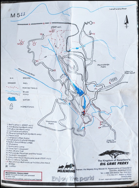
At the main gate I asked about hiking trails to Execution Rock and was told I would have to go to the Rest Camp to get a hiking map.  That is only a 3.5km drive, so it was no big deal.  Basically you leave a E10 deposit, let them know where you are going, and you get a wrinkled laminated map.  Here is a photo of the map to give you an idea of the hiking trails inside Mlilwane:

Mlilwane Hiking Map

As you can see, there are a couple longer routes that are possible which start around the Reilly’s Rock area.  We ran into a few other hikers while we were out and they said they were told it would take them 2.5 hours to get to the summit of Execution Rock from the lodge at Reilly’s Rock, but they were able to do it in about an hour and a half (they looked to be in pretty good hiking shape).  You can also see there is a much shorter route that starts most of the way up the mountain.  That is the route we decided to take.  We were told at the Rest Camp that that route takes about 15 minutes to hike.  It’s probably possible to do it in 15 minutes but It took us closer to 40 minutes with our toddler in tow.

The drive from the rest camp to the Nyakato viewpoint took us about 20 minutes to drive.  We had a large 4×4 truck and did the drive in the dry season so it really wasn’t a problem.  If you’re used to driving on mountain dirt roads, I think you could probably do it in any vehicle, but if it rained, I could see how it could get pretty sketchy.

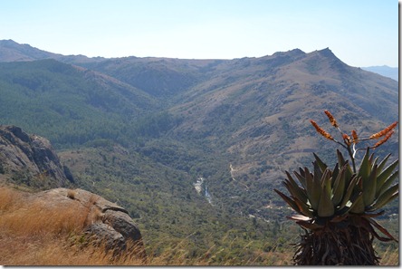
At the Nyakato viewpoint there is a nice picnic table and the views really are incredible.  We could hear the drums from Mantenga Cultural Village and the views of Sheba’s Breasts (neighboring mountain) and down into the mid-veld were pretty incredible.

Execution Rock 087

[Aloe plants in the foreground, Sheba’s Breast in the background.]

Execution Rock 033

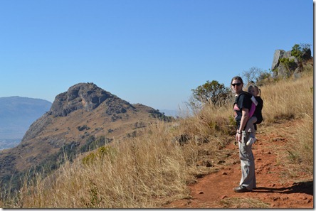
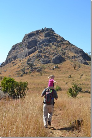
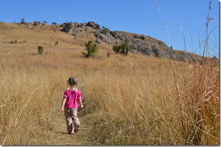
The trail was well maintained and easy to follow.  I would guess the walk was less than a mile from the trailhead to the summit (1.2 km).  Most it was gradual slopes although the last stretch required careful foot placement and an occasional hand on the ground.

Execution Rock 025

Execution Rock 042

Execution Rock 075

[Mikayla handled the trail just fine.]

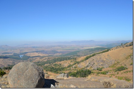
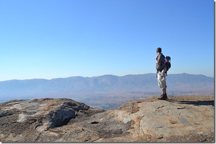
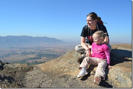
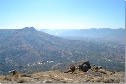
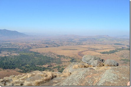
The day we hiked Execution Rock, there were several wildfires burning so the valley was pretty smokey.  However, the views from the top were still incredible.

Execution Rock 043

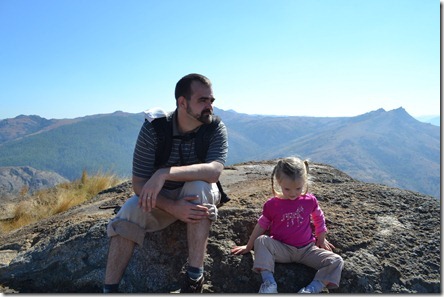
[Summit!]

Execution Rock 047

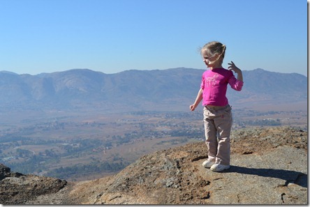
[Don’t worry, she really isn’t as close to the edge as it looks.]

Execution Rock 048

Execution Rock 060

Execution Rock 062

[Looking up the valley towards Mbabane]

Execution Rock 064

[Down the valley towards Manzini]

Execution Rock 065

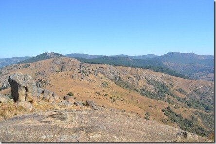
[Looking back towards the trailhead]

From the time we left the truck to the time we returned to it, it was probably about 2.5 hours.  The hike up Execution Rock was certainly not an epic journey, but it was a great day hike that you can complete start to finish in 3-4 hours including the drive up to the trailhead.

After the hike, we spent about an hour driving through the park before grabbing lunch at the rest camp.  We were there during the hottest part of the day, but we were still able to see quite a few animals:

Execution Rock 008

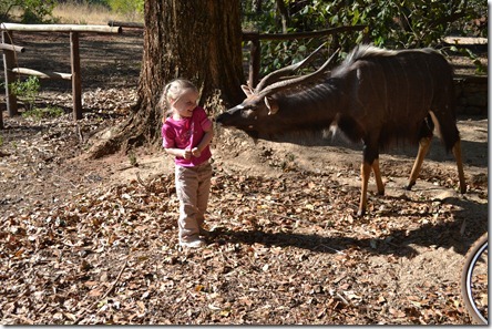
Execution Rock 114

[The animals at the Rest Camp are pretty accustomed to people]

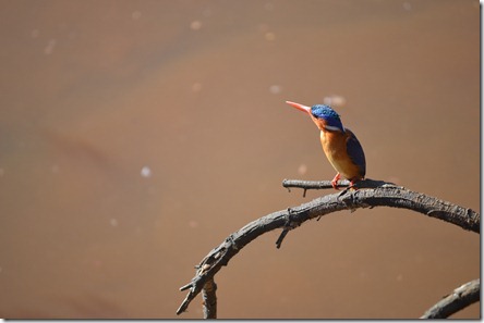
Execution Rock 158

[Mlilwane is known for its birdlife like this kingfisher.]

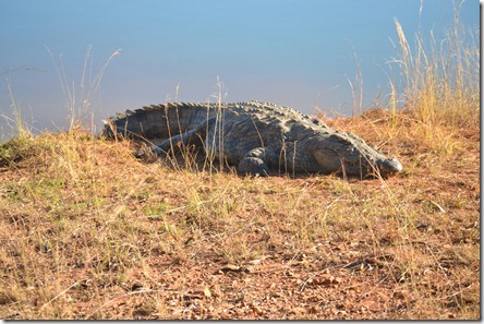
Execution Rock 186

[This is actually the first crocodile we have seen in Africa and it was HUGE.]

Execution Rock 190

Overall, it was an absolutely great day.  We ended it by eating at a new restaurant called Marimba’s in Manzini that specializes in African cuisine and it was excellent.  We were even able to throw in some grocery shopping and a stop at the airport and still make it home 12 hours after we left.

I am so glad we finally got that hike in.  Now we just need to make time for a few of the waterfall hikes in the highveld that we have been talking about doing.
Hiking at Shanty Hollow with Mikayla

May 18th, 2011 No comments

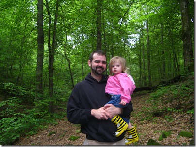
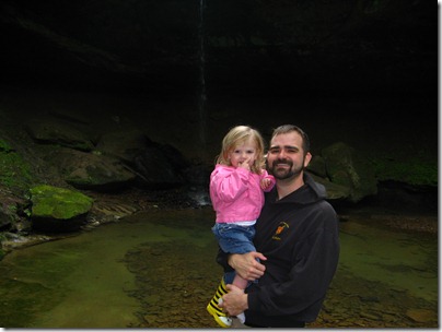
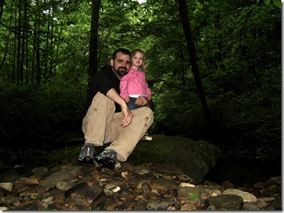
The day started out cold and dreary – unseasonably so for mid-May in Kentucky.  It would have been easy to stay inside and waste the day watching TV and surfing the internet.  But, Mikayla and I had plans and we weren’t going to let the weather affect us.  We decided to go hiking at a small lake in northern Warren County called Shanty Hollow (a popular climbing spot for locals).

hiking 033

Ran into a guy I went to college with and he snapped a few pictures for us.

hiking 035 hiking 042

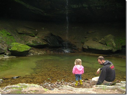
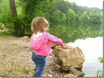
Our destination was the waterfall.  Mikayla enjoyed it, but had much more fun just throwing rocks in the water.

hiking 054

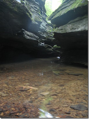
Many people know about the waterfall, but don’t take the time to follow the creek down where it cuts through the rock and makes a very cool ravine.

hiking 057 hiking 059-2 hiking 061-2

We then hiked out along the creek bed, stopping every 100 feet or so for Mikayla to throw more rocks into the water.  Although it was a bit cool and a bit wet, it ended up being a great morning to be out.  Here is a video of Mikayla throwing rocks!

hiking 070

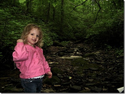
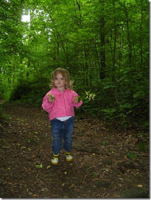
Here is Mikayla’s tough girl look.  She picked some honey-suckles and then wanted to walk the last quarter mile on her own (up until then she had mostly ridden on my  back).

hiking 072 hiking 076

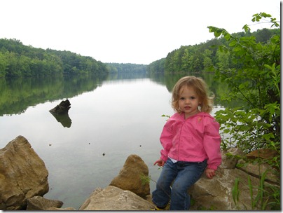
Our last stop was the lake shore… where of course she entertained herself by throwing more rocks.  She also found a hawk feather laying on the trail.

Overall it was a great morning that served as a simple reminder of the joys of getting off your butt and into nature.  I figure we had better enjoy the cold, wet weather, because the next several years won’t have much of it!

Where did the month go?

October 26th, 2010 No comments

…I guess the real question should be "Where have I been?"

The month of October has been a blur for the Kickerts. 

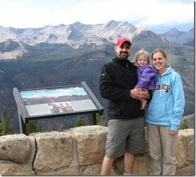
At the beginning of the month we took a quick trip to Colorado and Utah as a family.  It was the first real vacation Beth and I have taken since we went to DC back in 2005.  It was also Mikayla’s first flight (we used it as a bit of a test run for the 22 hour plane ride coming up for us in July).

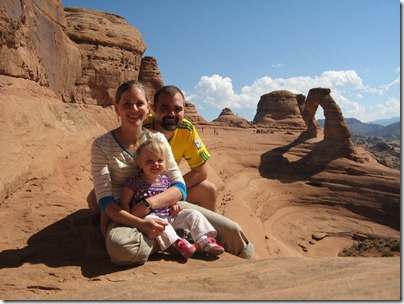
We flew into Denver and spent the day at the Children’s Museum.  Later that day we walked around downtown and tracked down some ice cream.  The next day we visited a cool place called the Butterfly Pavilion and headed up to Fort Collins.  Once our "city trips" were done we headed to Rocky Mountain National Park and then the next day traveled to Moab Utah and hiked around Arches National Park.

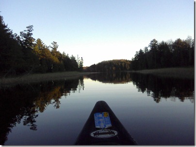
Right after returning to Kentucky I got back in the car and took a "quick" trip up to Northern Wisconsin / Upper Peninsula of Michigan to visit with my parents who just moved there.  While we didn’t have much planned, we did visit the "mysterious" Paulding Lights and did quite a bit of paddling on the small lakes up there.

On top of all the travelling, we have been making some big personnel adjustments at work and I have been prepping for our annual charge conference at church.

It seems the month just started, but it is already over.  On Friday we will have our annual Halloween Bash and then we will moving into November.

It is crazy to think how quick months go by, especially since we only have 9 more until we leave the states for a decade or so.  C’est la vie.

Colorado 034
Mikayla at the Children’s Museum

Colorado 139

Beth and Mikayla at the Butterfly Pavilion

Colorado 2 003

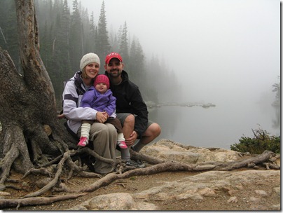
Foggy day at Dream lake in ROMO

Colorado 2 061

Along the Trail Ridge Road in ROMO

Moab 048

At Delicate Arch in Arches NP

Moab 123

1013101756-00

Paddling in the Sylvania Wilderness Area

1013101809-01

Trail Review: Mammoth Cave – First Creek Lake

April 12th, 2010 No comments

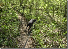
Sunday was the perfect day to be outside.  The sky was deep blue, the temperature was just right and the trees and wildflowers were in bloom.  We decided to take advantage of it by hiking in Mammoth Cave with the whole family (dog included).

2010-04-10 Mammoth Cave 028 2010-04-10 Mammoth Cave 039

We wanted to stay away from the touristy areas since it was such a beautiful spring weekend so we decided to hike in the west side of the park to Mammoth Cave’s largest above ground body of water: First Creek Lake.    The route we chose began at the Temple Hill trailhead and then included the loop around the lake before heading out the way we came.  Since we were hiking with our 1 year old, we thought it would be a bit much to attempt the longer route coming in from from the First Creek trailhead, plus this gave us a few options if we needed an even shorter trip.

We came in through the Brownsville entrance and took the Houchins Ferry across the Green River (Check here for ferry hours).  The road is gravel and well maintained.  There is parking at the trailhead, but it is not well laid out

2010-04-10 Mammoth Cave 022Beth and Mikayla at the Trail Head

The hike begins with a 1.9 mile segment that follows the ridge heading down to the Nolin River [NOTE: This trail has been recently rerouted.  Old topo maps do not reflect the change.  See links below.] The trail is well maintained, and even though horses are allowed on this section, degradation is minimal.  Overall the slope is moderate, but there are two sections that are relatively steep as you drop down off the ridge and then down onto the flood plain.  The trail provides good views of the river valley.

2010-04-10 Mammoth Cave 052Beth looking across the valley before dropping down the ridge

2010-04-10 Mammoth Cave 050Looking down towards the Nolin River

Once you reach the base of the lake, you can choose which route to take.  The left (west) option is shorter (for through hikers) and flatter.  It passes campsite #1 and a spur trail down to Nolin Lake.  The right option follows the base of the ridge, passes campsite #2 and crosses the two creeks which feed the lake.  If you do the entire loop it is 1.3 miles.  The longer option (ridge route) is 1.0 miles to the junction while the shorter option is 0.3 miles.  We took the left (west) segment first so if we needed to double back to shorten things we could.

Overall we were a bit disappointed with the destination.  Despite spring rains, the lake was quite low and marshy.  Even then, it was only visible for about 10% of the loop.  The spur trail to the river was narrow as it followed a deep muddy trench where the lake drains.  Once at the river, the options were minimal.  There is little shade and even less flat ground.  There is a fire pit near the river, but when we got there it was filled with trash.

2010-04-10 Mammoth Cave 046View of First Creek “Lake” from campsite #2

We continued on the short leg of the loop hoping to find another option for eating lunch along the river, but didn’t find anything.  Compared with the trail down, the loop is in much worse condition showing many muddy sections which have been chewed up by horse tracks.  The longer segment of the loop is much worse with several extended sections of muddy pot holes.  In relation to the whole trail, 90% was in great condition; but, the remaining 10% could be very unpleasant.
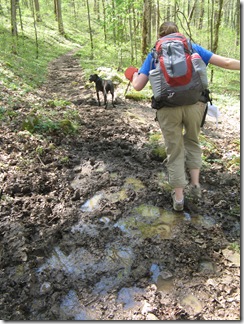
2010-04-10 Mammoth Cave 045One of the not-so-good sections

Despite the mud on the trail, the creek beds along the longer segment were quite dry.  Although, based on the debris, it was apparent there could be significant flow at times,

We ended up stopping for lunch just off the trail.  We found a shady spot on the dried northeast section of the lake bed.  At the time it was very pleasant, but I could imagine the bugs would be quite annoying later in the season.

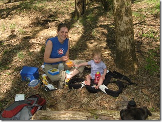
2010-04-10 Mammoth Cave 024Lunch along the trail

Campsite #2 is just a few hundred feet from the south trail junction.  It my opinion, it is the better of the two sites.  It does not have the easy access to the river, but it does have a better view of the lake and seems to be more secluded.

On the way back out we noticed the blooming wildflowers much more (that is probably because we were going much slower as we hiked up instead of down).  There were plenty of may apples already sprouting up and several other flowers poking through last year’s leaves.

2010-04-10 Mammoth Cave 047 2010-04-10 Mammoth Cave 043 2010-04-10 Mammoth Cave 044
Plants and flowers along the way

Overall we had a great time and enjoyed the hike but I would not consider the lake to be a destination in and of itself.  It was not a difficult hike, but it was not super easy either.  You don’t have to be in great shape to do it, but you wouldn’t want to take a small child and expect them to walk it all on their own.  It took us about 3 hours to complete the trip at a leisurely pace.  While I have not hiked it, I have heard the north section of the First Creek trail is pretty tore up from the horse traffic.  Something to consider if you are planning a trip of your own.

At a Glance:

Mammoth Cave – First Creek Lake
Type: Point-to-point with loop
Length: 5.1 miles
Rating: Enjoyable
Difficulty: Moderate

Date: April 10, 2010
Weather: 77 and sunny
Duration: 3 hours

Helpful Links: