Sunday was the perfect day to be outside. The sky was deep blue, the temperature was just right and the trees and wildflowers were in bloom. We decided to take advantage of it by hiking in Mammoth Cave with the whole family (dog included).

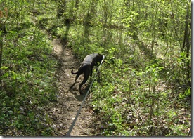
We wanted to stay away from the touristy areas since it was such a beautiful spring weekend so we decided to hike in the west side of the park to Mammoth Cave’s largest above ground body of water: First Creek Lake. The route we chose began at the Temple Hill trailhead and then included the loop around the lake before heading out the way we came. Since we were hiking with our 1 year old, we thought it would be a bit much to attempt the longer route coming in from from the First Creek trailhead, plus this gave us a few options if we needed an even shorter trip.
We came in through the Brownsville entrance and took the Houchins Ferry across the Green River (Check here for ferry hours). The road is gravel and well maintained. There is parking at the trailhead, but it is not well laid out
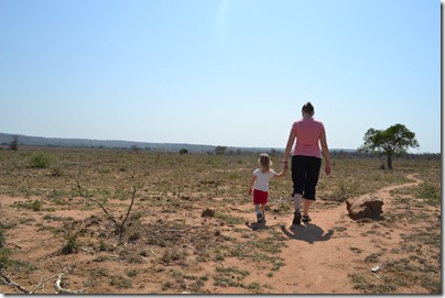
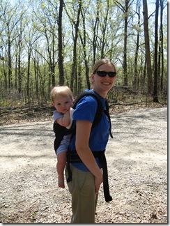 Beth and Mikayla at the Trail Head
The hike begins with a 1.9 mile segment that follows the ridge heading down to the Nolin River [NOTE: This trail has been recently rerouted. Old topo maps do not reflect the change. See links below.] The trail is well maintained, and even though horses are allowed on this section, degradation is minimal. Overall the slope is moderate, but there are two sections that are relatively steep as you drop down off the ridge and then down onto the flood plain. The trail provides good views of the river valley.
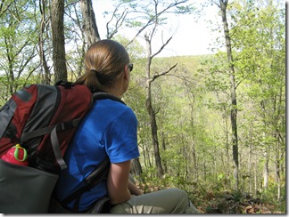 Beth looking across the valley before dropping down the ridge
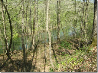 Looking down towards the Nolin River
Once you reach the base of the lake, you can choose which route to take. The left (west) option is shorter (for through hikers) and flatter. It passes campsite #1 and a spur trail down to Nolin Lake. The right option follows the base of the ridge, passes campsite #2 and crosses the two creeks which feed the lake. If you do the entire loop it is 1.3 miles. The longer option (ridge route) is 1.0 miles to the junction while the shorter option is 0.3 miles. We took the left (west) segment first so if we needed to double back to shorten things we could.
Overall we were a bit disappointed with the destination. Despite spring rains, the lake was quite low and marshy. Even then, it was only visible for about 10% of the loop. The spur trail to the river was narrow as it followed a deep muddy trench where the lake drains. Once at the river, the options were minimal. There is little shade and even less flat ground. There is a fire pit near the river, but when we got there it was filled with trash.
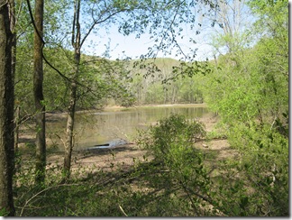 View of First Creek “Lake” from campsite #2
We continued on the short leg of the loop hoping to find another option for eating lunch along the river, but didn’t find anything. Compared with the trail down, the loop is in much worse condition showing many muddy sections which have been chewed up by horse tracks. The longer segment of the loop is much worse with several extended sections of muddy pot holes. In relation to the whole trail, 90% was in great condition; but, the remaining 10% could be very unpleasant.
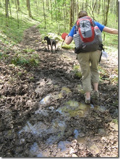 One of the not-so-good sections
Despite the mud on the trail, the creek beds along the longer segment were quite dry. Although, based on the debris, it was apparent there could be significant flow at times,
We ended up stopping for lunch just off the trail. We found a shady spot on the dried northeast section of the lake bed. At the time it was very pleasant, but I could imagine the bugs would be quite annoying later in the season.
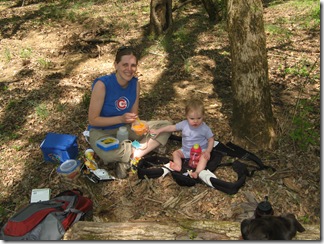 Lunch along the trail
Campsite #2 is just a few hundred feet from the south trail junction. It my opinion, it is the better of the two sites. It does not have the easy access to the river, but it does have a better view of the lake and seems to be more secluded.
On the way back out we noticed the blooming wildflowers much more (that is probably because we were going much slower as we hiked up instead of down). There were plenty of may apples already sprouting up and several other flowers poking through last year’s leaves.
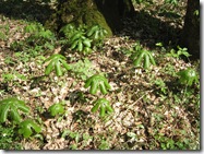
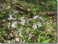
Plants and flowers along the way
Overall we had a great time and enjoyed the hike but I would not consider the lake to be a destination in and of itself. It was not a difficult hike, but it was not super easy either. You don’t have to be in great shape to do it, but you wouldn’t want to take a small child and expect them to walk it all on their own. It took us about 3 hours to complete the trip at a leisurely pace. While I have not hiked it, I have heard the north section of the First Creek trail is pretty tore up from the horse traffic. Something to consider if you are planning a trip of your own.
At a Glance:
Mammoth Cave – First Creek Lake
Type: Point-to-point with loop
Length: 5.1 miles
Rating: Enjoyable
Difficulty: Moderate
Date: April 10, 2010
Weather: 77 and sunny
Duration: 3 hours
Helpful Links:


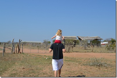
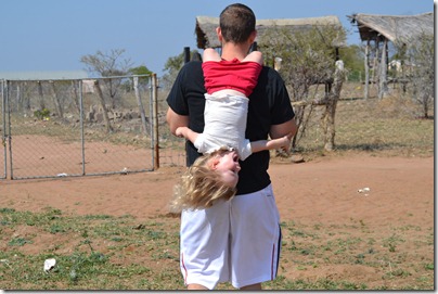


 Beth and Mikayla at the Trail Head


